Integrated tools for evidence-based restoration
At CIFOR-ICRAF, an integrated toolkit for land health monitoring has been developed to combine systematic data collection, predictive modelling, and participatory citizen science. This toolkit is grounded in two complementary approaches:
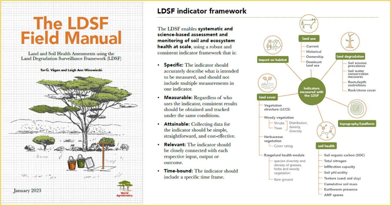
The Land Degradation Surveillance Framework (LDSF): a standardised methodology for biophysical data collection that feeds into machine learning models to generate high-resolution predictive maps of soil and land health indicators. These maps are integrated into decision-support tools such as dashboards, posters, and reports that help stakeholders target interventions, monitor progress, and report against commitments.
The Regreening App: a participatory citizen science tool that allows local actors to capture restoration data (including the location of restoration sites and metadata such as who, when, and what interventions took place). Overlaid on LDSF predictive maps, Regreening App data provides a powerful complement to evidence based monitoring, enhancing decision-making and ensuring community contributions are captured in evidence systems.
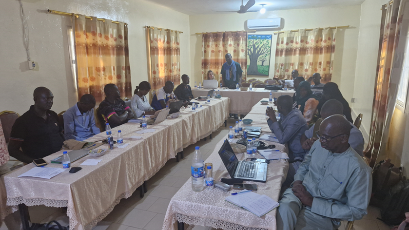
In August 2025, these approaches were brought together in Linguère, Senegal, during a capacity building workshop under the Knowledge for Great Green Wall Action (K4GGWA) initiative. The training provided participants with both theoretical training and practical experience in LDSF surveys, and participatory monitoring through the Regreening App.
In total, 20 participants took part in the training workshops including staff from:
- Agence Sénégalaise de la Réforestation et de la Grande Muraille Verte (ASERGMV), Senegal
- Agence de la Grande Muraille Verte (APGMV), Mauritania
- Direction des Eaux et Forêts, Senegal
- Agronomes et Vétérinaires Sans Frontières (AVSF), Senegal
- Entente des Groupements Associés pour le Développement à la Base (EGAB)
- Association pour le Développement Intégré et Durable (ADID)
- CIFOR-ICRAF Mali
Training activities therefore equipped key personnel from more than 8 different organisations with with actionable knowledge on the tools and approaches available for restoration works.
These activities were run in parallel to a series of community site visits, designed to integrate local perspectives into restoration evidence.
LDSF training and surveys
The first component of the workshop focused on the Land Degradation Surveillance Framework (LDSF). Participants were trained on using the LDSF framework for collecting in-field data on land and soil health at the landscape level. Core elements included:
- Soil sampling and characterisation (texture, organic carbon, infiltration, erosion prevalence).
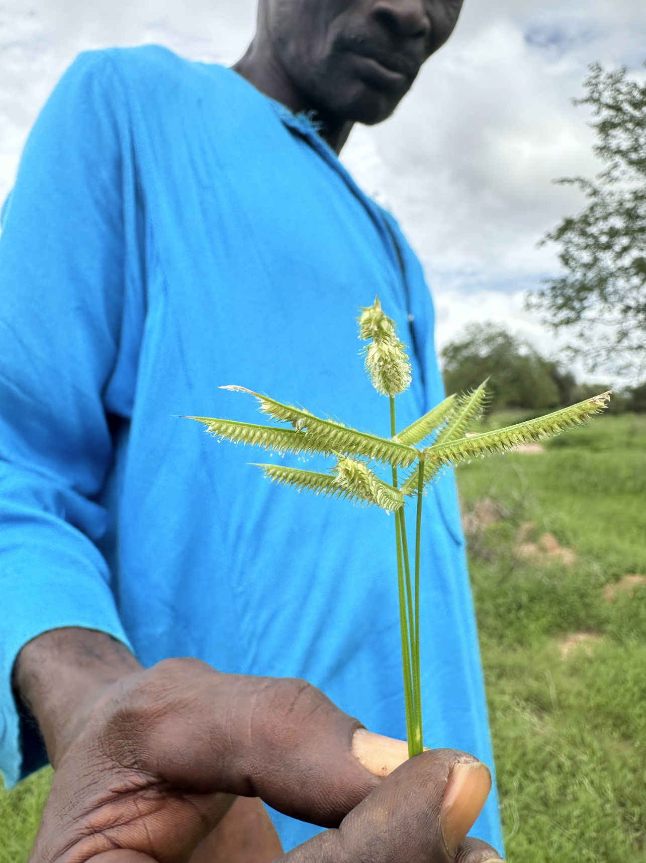
- Vegetation assessments, including tree and shrub density, species diversity, and herbaceous cover.
- Landscape stratification and the use of GPS and Open Data Kit (ODK) for digital data collection.
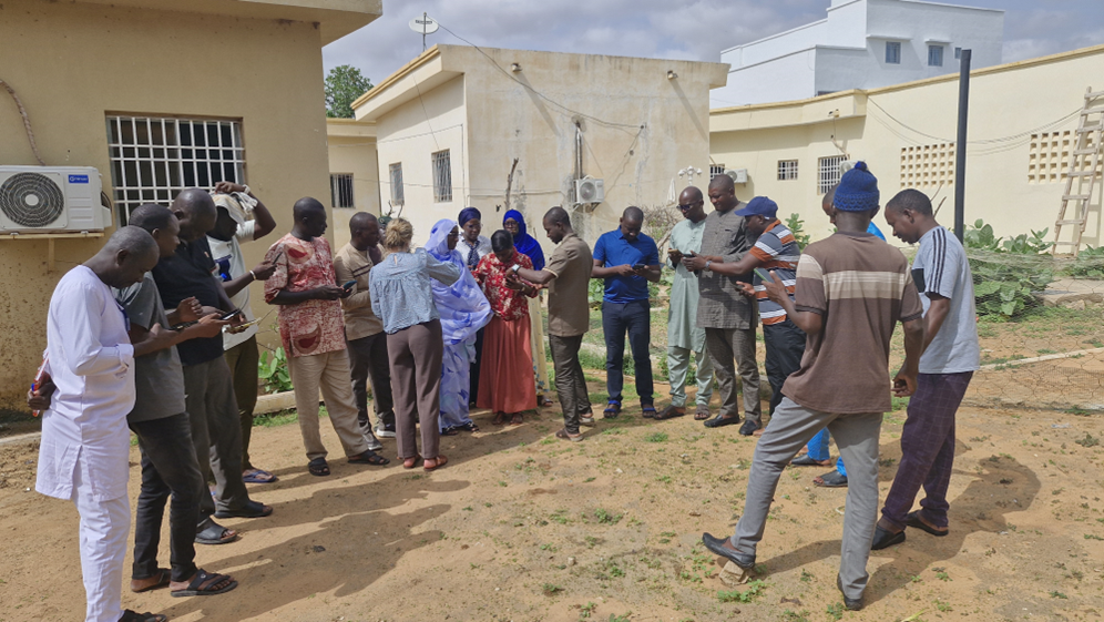
Participants were trained on the theory aspect of the LDSF framework, before undertaking in-field practical training.
Field exercises took place at the Ferlo sites of Younofere and Mboula. Following LDSF training activities, a field team commenced actual LDSF surveys across two sites in Senegal’s Ferlo region - these campaigns are still underway.
LDSF surveys are critical for building robust datasets that can be used to train predictive models, generate maps of land health indicators, and monitor restoration effectiveness over time.
Regreening App training: participatory monitoring
The second component of the workshop introduced the Regreening App, a mobile-based citizen science tool developed under the Regreening Africa programme. The training session emphasised how the app complements LDSF surveys by:
- Capturing community-level restoration data such as tree planting, Farmer-Managed Natural Regeneration (FMNR), and soil and water conservation measures.
- Recording spatially explicit information through GPS, enabling interventions to be mapped precisely.
- Ensuring inclusivity with gender-disaggregated participation data and offline functionality for rural contexts.
By linking citizen-generated data to predictive spatial maps derived from LDSF surveys, the Regreening App demonstrates the value of participatory monitoring systems. This integration strengthens transparency and accountability while ensuring community voices are a key part of restoration planning and reporting.
In particular, the training focused on an introduction and demonstration of the newly released Rangeland Module - a module designed to capture interventions specific to rangeland contexts.
Community site visits and integrating evidence
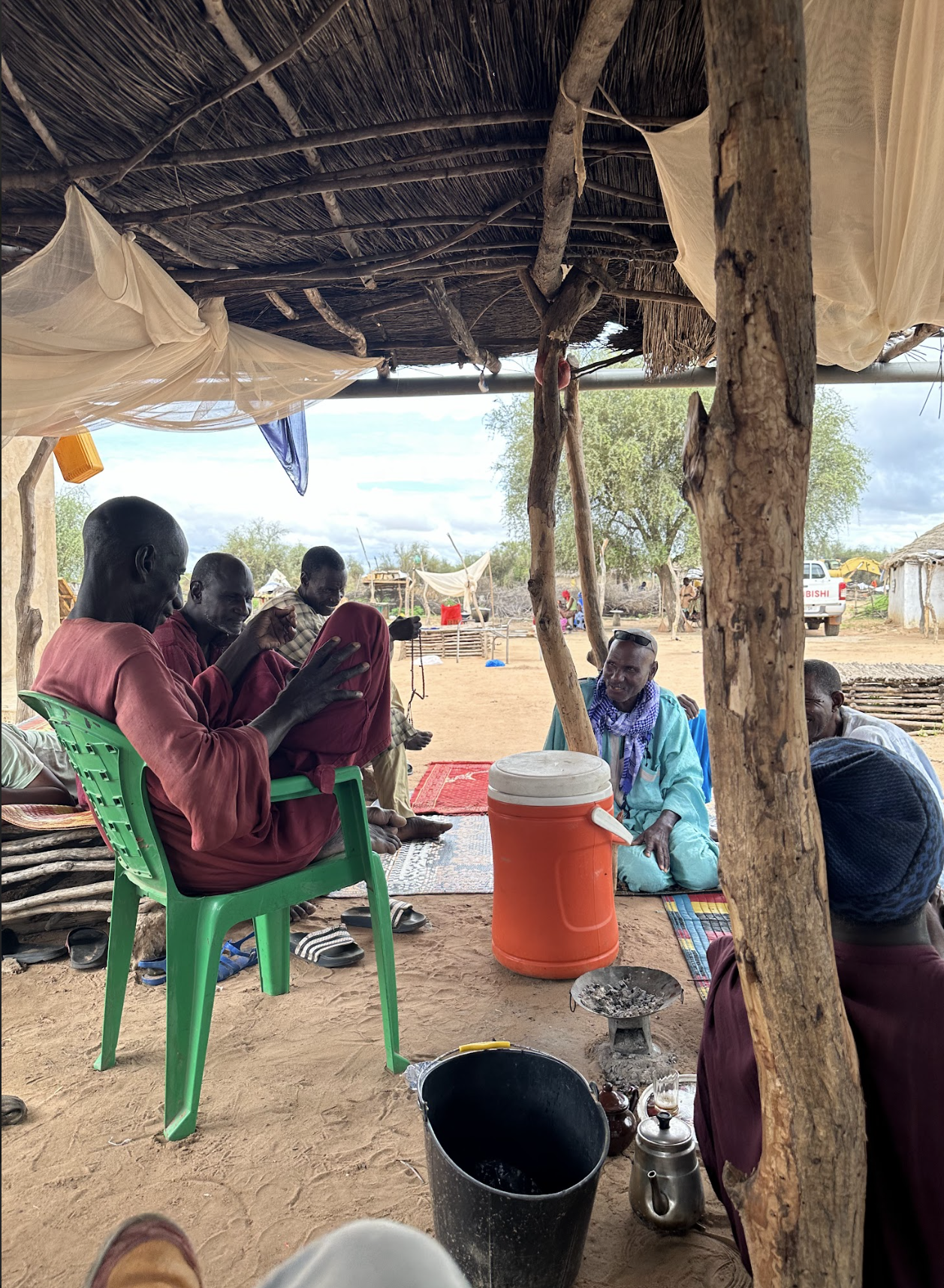
In addition to training workshop activities, community site visits were conducted in the Ferlo Region across key restoration target sites. These activities emphasised the importance of connecting scientific assessments with local knowledge and perceptions.
Semi-structured interviews and focus group discussions were held during site visits, engaging community members in discussions about land use, degradation trends, and restoration practices.
These sessions provided qualitative insights that may be used to complement quantitative LDSF and Regreening App data. Using maps and participatory exercises, communities reflected on observable changes in soil condition, vegetation cover, and water availability. These dialogues not only complement scientific measurements but also highlight context-specific drivers of degradation and restoration.
This triangulation, combining LDSF biophysical surveys, citizen science data from the Regreening App, and community narratives from focus groups, represents the integrated evidence approach championed under the K4GGWA initiative. By aligning local perspectives with spatial data and predictive modelling, the process strengthens decision-making at both community and national levels.
Looking ahead
The Senegal training demonstrates how capacity building in integrated monitoring tools can empower institutions and communities to take ownership of restoration decision-making. Participants are now applying LDSF methods and using the Regreening App in their respective activities, with data feeding into local monitoring and evaluation frameworks, and regional platforms like the K4GGWA Platform and eventually, the Great Green Wall Observatory.
As LDSF datasets are expanded and predictive maps refined, and as community monitoring grows through the Regreening App, the evidence base for restoration in Senegal, and across other GGW countries will continue to grow. Most importantly, this evidence will be grounded in both science and community participation, ensuring restoration actions are targeted, accountable, and sustainable across the Great Green Wall.